File:Station Road - Geograph - 4874723.jpg
Jump to navigation
Jump to search

No higher resolution available.
Station_Road_-_Geograph_-_4874723.jpg (640 × 480 pixels, file size: 58 KB, MIME type: image/jpeg)
| |||||||||||||||||||||||||
|
Galleries | C222 (Cambridgeshire) | Cambridgeshire | ||
File history
Click on a date/time to view the file as it appeared at that time.
| Date/Time | Thumbnail | Dimensions | User | Comment | |
|---|---|---|---|---|---|
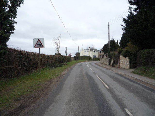
| current | 10:32, 3 March 2018 | | 640 × 480 (58 KB) | C2r (talk | contribs) | '''Station Road''' Approaching Dullingham Level Crossing. |
File usage
The following 2 pages use this file: