File:Stillorgan Park Road - Geograph - 4144222.jpg
Jump to navigation
Jump to search

No higher resolution available.
Stillorgan_Park_Road_-_Geograph_-_4144222.jpg (640 × 460 pixels, file size: 59 KB, MIME type: image/jpeg)
| |||||||||||||||||||||||||
|
Galleries | R825 | ||
File history
Click on a date/time to view the file as it appeared at that time.
| Date/Time | Thumbnail | Dimensions | User | Comment | |
|---|---|---|---|---|---|
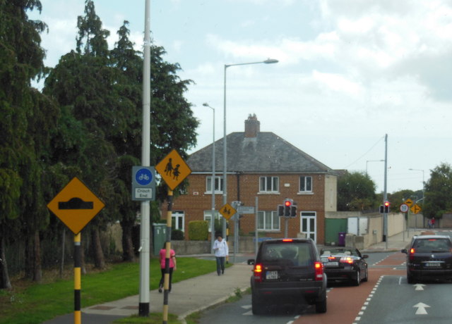
| current | 16:30, 14 June 2015 | | 640 × 460 (59 KB) | Viator (talk | contribs) | The R825 turns left at the lights, from Stillorgan Park Road into Carysfort Avenue |
File usage
The following page uses this file: