File:Stoke-on-Trent- complex of roads at Sideway - Geograph - 4992383.jpg
Jump to navigation
Jump to search

No higher resolution available.
Stoke-on-Trent-_complex_of_roads_at_Sideway_-_Geograph_-_4992383.jpg (640 × 480 pixels, file size: 60 KB, MIME type: image/jpeg)
| |||||||||||||||||||||||||
|
Galleries | A500 | A50 | Stoke-on-Trent | Sideway Roundabout | ||
File history
Click on a date/time to view the file as it appeared at that time.
| Date/Time | Thumbnail | Dimensions | User | Comment | |
|---|---|---|---|---|---|
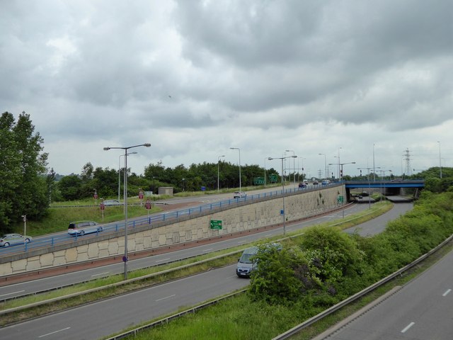
| current | 12:58, 23 September 2016 | | 640 × 480 (60 KB) | C2r (talk | contribs) | '''Stoke-on-Trent- complex of roads at Sideway''' In the centre of the picture is the dual carriageway A500, while beyond on the left the A50 rises to cross the A500 in an easterly direction. |
File usage
The following 2 pages use this file: