File:Stoke Newington Church Street, N16 - Geograph - 397185.jpg
Jump to navigation
Jump to search

No higher resolution available.
Stoke_Newington_Church_Street,_N16_-_Geograph_-_397185.jpg (640 × 480 pixels, file size: 110 KB, MIME type: image/jpeg)
| |||||||||||||||||||||||||
|
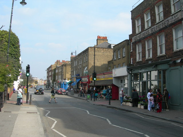
Galleries | B104 | S2 | Puffin Crossing | ||
File history
Click on a date/time to view the file as it appeared at that time.
| Date/Time | Thumbnail | Dimensions | User | Comment | |
|---|---|---|---|---|---|
| current | 21:53, 2 October 2010 | | 640 × 480 (110 KB) | Multiraider2 (talk | contribs) | '''The B104, Stoke Newington Church Street, N16'''<br/>Near Yoakley Road. |
File usage
The following 2 pages use this file: