File:Stone Cross Farm (C) Will Lovell - Geograph - 120205.jpg
Jump to navigation
Jump to search

No higher resolution available.
Stone_Cross_Farm_(C)_Will_Lovell_-_Geograph_-_120205.jpg (640 × 480 pixels, file size: 72 KB, MIME type: image/jpeg)
| |||||||||||||||||||||||||
|
Galleries | B571 | ||
File history
Click on a date/time to view the file as it appeared at that time.
| Date/Time | Thumbnail | Dimensions | User | Comment | |
|---|---|---|---|---|---|
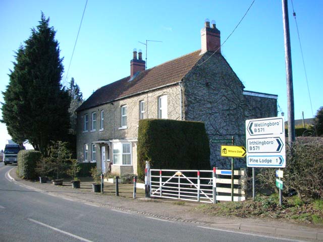
| current | 19:55, 11 February 2015 | | 640 × 480 (72 KB) | Vlad (talk | contribs) | '''Stone Cross Farm (C) Will Lovell '''<br/>There used to be a stone cross in the front garden behind a low wall. The public footpath goes through the farm gate. |
File usage
The following 2 pages use this file:
_Will_Lovell_-_Geograph_-_120205.jpg&oldid=395301)