 | |  |
| | Description: | On the last ever day of through traffic, The A344 is about to lose its link with the A303 and become a part of modern history. | | Location: | 51.177890, -1.819954 | | Road: | A344, A303 | | Date: | 23rd June 2013 | | Photographer: | | | Source: | |
|
|
| |
 | |  |
File history
Click on a date/time to view the file as it appeared at that time.
| Date/Time | Thumbnail | Dimensions | User | Comment |
|---|
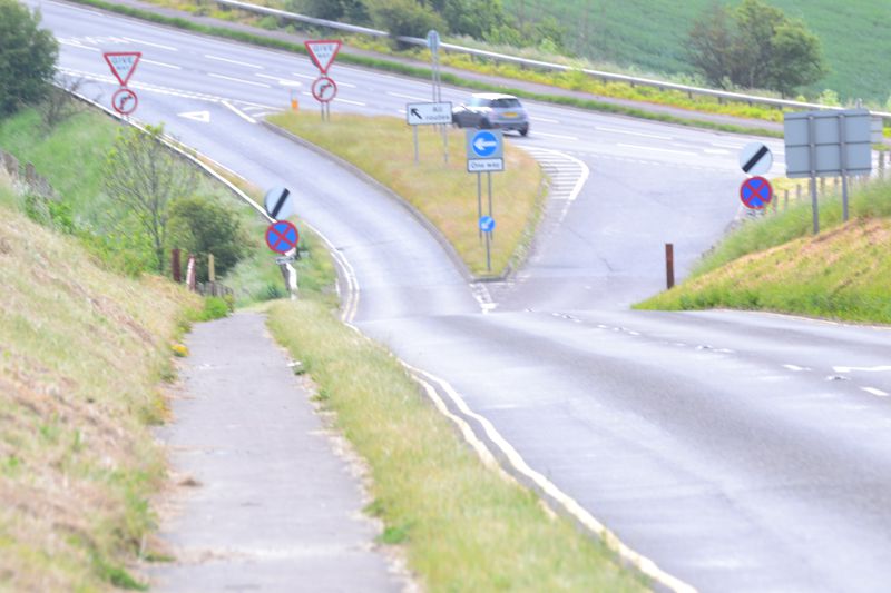
| current | 15:39, 29 June 2013 | 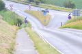 | 4,608 × 3,072 (3.09 MB) | Robbie george (talk | contribs) | On the last ever day of through traffic, The A344 is about to lose its link with the A303 and become a part of modern history. |
File usage
The following page uses this file:
This file contains additional information, probably added from the digital camera or scanner used to create or digitise it.
If the file has been modified from its original state, some details may not fully reflect the modified file.
