File:Stratford Road, Ash Vale (C) Alan Hunt - Geograph - 3548403.jpg
Jump to navigation
Jump to search

No higher resolution available.
Stratford_Road,_Ash_Vale_(C)_Alan_Hunt_-_Geograph_-_3548403.jpg (640 × 502 pixels, file size: 110 KB, MIME type: image/jpeg)
| |||||||||||||||||||||||||
|
Galleries | B3165 (Surrey) | A3012 | ||
File history
Click on a date/time to view the file as it appeared at that time.
| Date/Time | Thumbnail | Dimensions | User | Comment | |
|---|---|---|---|---|---|
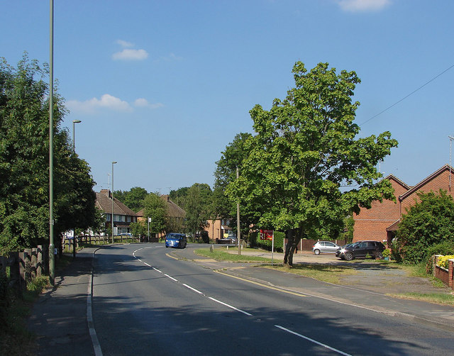
| current | 19:41, 7 July 2014 | | 640 × 502 (110 KB) | Vlad (talk | contribs) | '''Stratford Road, Ash Vale (C) Alan Hunt '''<br/>The B3165, Stratford Road, a residential road in Ash Vale. |
File usage
The following 4 pages use this file:
_Alan_Hunt_-_Geograph_-_3548403.jpg&oldid=380183)