File:Strathkinness Low Road Milestone.jpg
Jump to navigation
Jump to search

Size of this preview: 800 × 600 pixels. Other resolutions: 2,560 × 1,920 pixels | 5,184 × 3,888 pixels.
Original file (5,184 × 3,888 pixels, file size: 906 KB, MIME type: image/jpeg)
| |||||||||||||||||||||||||
|
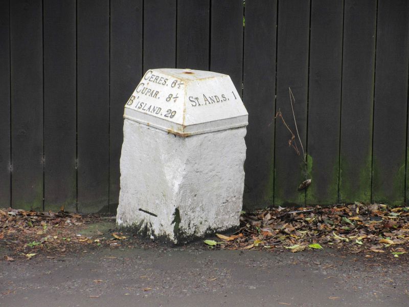
Galleries | B939 | Milestones | ||
File history
Click on a date/time to view the file as it appeared at that time.
| Date/Time | Thumbnail | Dimensions | User | Comment | |
|---|---|---|---|---|---|
| current | 19:02, 6 September 2017 | | 5,184 × 3,888 (906 KB) | Scotti (talk | contribs) | Milestone on the B939 Strathkinness Low Road on the western edge of St.Andrews. |
File usage
The following page uses this file: