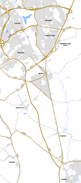
File:Studley Bypass 1991 scheme.png
Jump to navigation
Jump to search

Size of this preview: 265 × 600 pixels. Other resolution: 1,060 × 2,400 pixels.
Original file (1,060 × 2,400 pixels, file size: 829 KB, MIME type: image/png)
| |||||||||||||||||||||||||
|
Galleries | A435 | ||
File history
Click on a date/time to view the file as it appeared at that time.
| Date/Time | Thumbnail | Dimensions | User | Comment | |
|---|---|---|---|---|---|
| current | 20:51, 23 July 2018 | | 1,060 × 2,400 (829 KB) | Truvelo (talk | contribs) | 1991 proposal for Studley Bypass |
File usage
The following page uses this file: