File:Sudbrook branch (C) Gareth James - Geograph - 3380273.jpg
Jump to navigation
Jump to search

No higher resolution available.
Sudbrook_branch_(C)_Gareth_James_-_Geograph_-_3380273.jpg (640 × 480 pixels, file size: 78 KB, MIME type: image/jpeg)
| |||||||||||||||||||||||||
|
Galleries | Level Crossing | Monmouthshire | ||
File history
Click on a date/time to view the file as it appeared at that time.
| Date/Time | Thumbnail | Dimensions | User | Comment | |
|---|---|---|---|---|---|
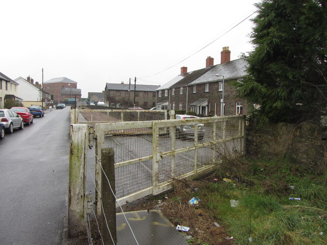
| current | 08:59, 10 November 2013 | | 640 × 480 (78 KB) | Glen (talk | contribs) | '''Sudbrook branch (C) Gareth James '''<br/>Post Office No. 1 level crossing on the disused Sudbrook branch. The line was last used in the early 2000s, and is now disconnected from the main line. |
File usage
The following 4 pages use this file:
_Gareth_James_-_Geograph_-_3380273.jpg&oldid=376633)