File:Sutton Road near The Chuckery, Walsall - Geograph - 2731928.jpg
Jump to navigation
Jump to search

No higher resolution available.
Sutton_Road_near_The_Chuckery,_Walsall_-_Geograph_-_2731928.jpg (640 × 427 pixels, file size: 135 KB, MIME type: image/jpeg)
| |||||||||||||||||||||||||
|
Galleries | C4000 (Walsall) | Walsall | ||
File history
Click on a date/time to view the file as it appeared at that time.
| Date/Time | Thumbnail | Dimensions | User | Comment | |
|---|---|---|---|---|---|
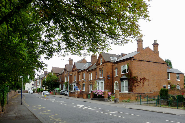
| current | 16:56, 10 April 2018 | | 640 × 427 (135 KB) | C2r (talk | contribs) | '''Sutton Road near The Chuckery, Walsall''' The grounds of Queen Mary's Grammar School and the Mayfield Preparatory School are behind the wall on the left. |
File usage
The following 2 pages use this file: