File:Sycamore Cross - Geograph - 272218.jpg
Jump to navigation
Jump to search

No higher resolution available.
Sycamore_Cross_-_Geograph_-_272218.jpg (640 × 470 pixels, file size: 90 KB, MIME type: image/jpeg)
| |||||||||||||||||||||||||
|
Galleries | A48 | A4050 | A48 Named Junctions | S2 | Sycamore Cross | ||
File history
Click on a date/time to view the file as it appeared at that time.
| Date/Time | Thumbnail | Dimensions | User | Comment | |
|---|---|---|---|---|---|
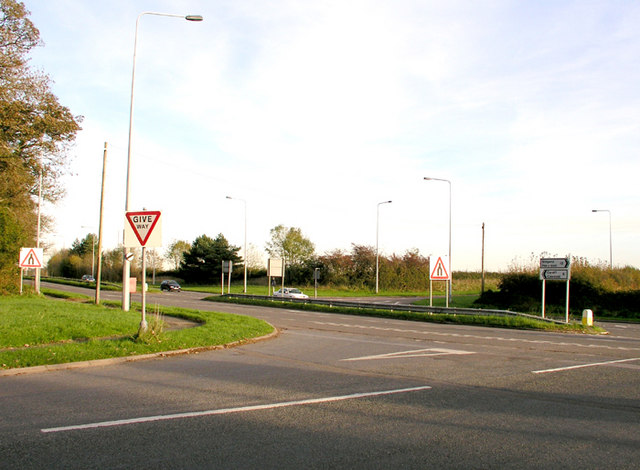
| current | 12:29, 1 October 2010 | | 640 × 470 (90 KB) | Bob@romiley1 (talk | contribs) | '''Sycamore Cross'''<br/>A junction between the east / west A48 and the Five Mile Lane south to Barry and a minor road north to Pendoylan and the M4 |
File usage
The following 3 pages use this file: