File:Tadcaster Bridge - Geograph - 720558.jpg
Jump to navigation
Jump to search

No higher resolution available.
Tadcaster_Bridge_-_Geograph_-_720558.jpg (640 × 480 pixels, file size: 65 KB, MIME type: image/jpeg)
| |||||||||||||||||||||||||
|
Galleries | A659 | A64 | S2 | Tadcaster Bridge | ||
File history
Click on a date/time to view the file as it appeared at that time.
| Date/Time | Thumbnail | Dimensions | User | Comment | |
|---|---|---|---|---|---|
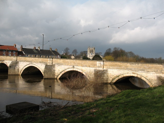
| current | 16:54, 5 April 2010 | | 640 × 480 (65 KB) | Bob@romiley1 (talk | contribs) | '''Tadcaster Bridge'''<br/>An important crossing of the River Wharfe, once carrying the main Leeds to York road. The bridge is early 18th century and is reputedly built of stone taken from the old castle. |
File usage
The following 2 pages use this file: