File:Tarbert- the village from the A859 (C) Chris Downer - Geograph - 3283029.jpg
Jump to navigation
Jump to search

No higher resolution available.
Tarbert-_the_village_from_the_A859_(C)_Chris_Downer_-_Geograph_-_3283029.jpg (640 × 480 pixels, file size: 83 KB, MIME type: image/jpeg)
| |||||||||||||||||||||||||
|
Galleries | A868 | ||
File history
Click on a date/time to view the file as it appeared at that time.
| Date/Time | Thumbnail | Dimensions | User | Comment | |
|---|---|---|---|---|---|
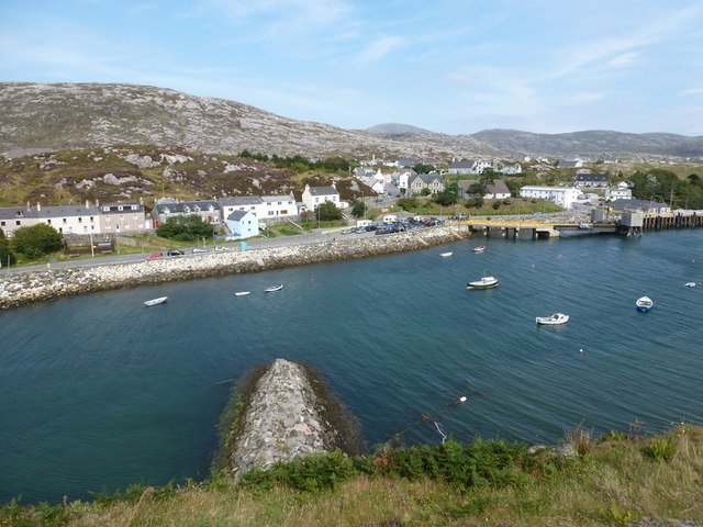
| current | 14:17, 12 April 2014 | | 640 × 480 (83 KB) | Vlad (talk | contribs) | '''Tarbert- the village from the A859 (C) Chris Downer '''<br/>Looking across the very head of Loch Tairbeirt towards the village and ferry terminal. |
File usage
The following page uses this file:
_Chris_Downer_-_Geograph_-_3283029.jpg&oldid=370800)