File:Target Roundabout, Northolt - Geograph - 18283.jpg
Jump to navigation
Jump to search

No higher resolution available.
Target_Roundabout,_Northolt_-_Geograph_-_18283.jpg (640 × 480 pixels, file size: 72 KB, MIME type: image/jpeg)
| |||||||||||||||||||||||||
|
Galleries | A40 | A312 | Target Roundabout | Target Roundabout | D3 | ||
File history
Click on a date/time to view the file as it appeared at that time.
| Date/Time | Thumbnail | Dimensions | User | Comment | |
|---|---|---|---|---|---|
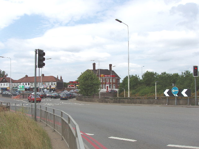
| current | 18:43, 2 August 2010 | | 640 × 480 (72 KB) | Bob@romiley1 (talk | contribs) | '''Target Roundabout, Northolt'''<br/>Western Avenue is in an underpass here. The large McDonalds used to be The Target public house. |
File usage
The following 5 pages use this file: