File:Tenmilemap1926.png
Jump to navigation
Jump to search

No higher resolution available.
Tenmilemap1926.png (307 × 555 pixels, file size: 339 KB, MIME type: image/png)
| ||||||||||||||
|
Galleries | OS Ten Mile Map | ||
File history
Click on a date/time to view the file as it appeared at that time.
| Date/Time | Thumbnail | Dimensions | User | Comment | |
|---|---|---|---|---|---|
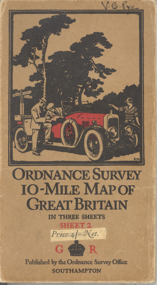
| current | 21:40, 2 May 2012 | | 307 × 555 (339 KB) | Steven (talk | contribs) | OS Ten Mile Map cover, 1926 Sheet 2 |
File usage
The following 3 pages use this file:
- OS Ten Mile Map
- File:1926.png (file redirect)
- Gallery:OS Mapping