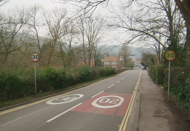
Thames Bridge, Goring On Thames (approach) A view West of the approach to the famous bridge over the River Thames. In the far distance, we can see where the road enters Streatley and crosses the county border into Berkshire.
'''Thames Bridge, Goring On Thames (approach)'''<br/>A view West of the approach to the famous bridge over the River Thames. In the far distance, we can see where the road enters Streatley and crosses the county border into Berkshire.
File usage
There are no pages that use this file.
Metadata
This file contains additional information, probably added from the digital camera or scanner used to create or digitise it.
If the file has been modified from its original state, some details may not fully reflect the modified file.

_-_Geograph_-_1440123.jpg&oldid=155735)