File:Thames Head Bridge - Geograph - 1206823.jpg
Jump to navigation
Jump to search

No higher resolution available.
Thames_Head_Bridge_-_Geograph_-_1206823.jpg (640 × 480 pixels, file size: 84 KB, MIME type: image/jpeg)
| |||||||||||||||||||||||||
|
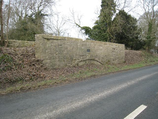
Galleries | A433 | Thames Head Bridge | ||
File history
Click on a date/time to view the file as it appeared at that time.
| Date/Time | Thumbnail | Dimensions | User | Comment | |
|---|---|---|---|---|---|
| current | 19:26, 17 June 2010 | | 640 × 480 (84 KB) | Abeaton (talk | contribs) | '''Thames Head Bridge'''<br/>The Fosse Way crossed the Thames and Severn Canal at this point. The road was realigned in 1962 to bypass the bridge however the bridge still remains providing access to a canalside house. A <a href="http://www.geograph.org. |
File usage
The following page uses this file: