File:The "Lost Road", Blackgang (C) Ray Girvan - Geograph - 2723134.jpg
Jump to navigation
Jump to search

Size of this preview: 450 × 600 pixels. Other resolution: 480 × 640 pixels.
Original file (480 × 640 pixels, file size: 122 KB, MIME type: image/jpeg)
| |||||||||||||||||||||||||
|
Galleries | A3055 | B3325 (Freshwater - Sandown) | Abandoned Road | ||
File history
Click on a date/time to view the file as it appeared at that time.
| Date/Time | Thumbnail | Dimensions | User | Comment | |
|---|---|---|---|---|---|
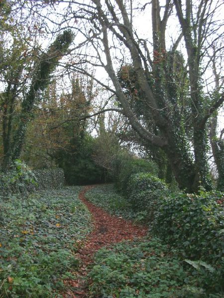
| current | 21:13, 17 July 2014 | | 480 × 640 (122 KB) | Vlad (talk | contribs) | '''The "Lost Road", Blackgang (C) Ray Girvan '''<br/>This is a view of the "lost road", a section of the now-overgrown road at the foot of Gore Cliff that formerly connected Blackgang and Niton. Now this section is cut off at both ends by landslips cau... |
File usage
The following 2 pages use this file:
_Ray_Girvan_-_Geograph_-_2723134.jpg&oldid=381187)