File:The 'Nest', Bryansford - Geograph - 805385.jpg
Jump to navigation
Jump to search

No higher resolution available.
The_'Nest',_Bryansford_-_Geograph_-_805385.jpg (640 × 387 pixels, file size: 73 KB, MIME type: image/jpeg)
| |||||||||||||||||||||||||
|
Galleries | B180 (Northern Ireland) | High Mournes Scenic Loop | ||
File history
Click on a date/time to view the file as it appeared at that time.
| Date/Time | Thumbnail | Dimensions | User | Comment | |
|---|---|---|---|---|---|
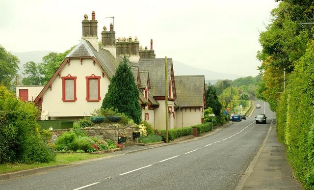
| current | 10:13, 20 March 2017 | | 640 × 387 (73 KB) | Si404 (talk | contribs) | '''The 'Nest', Bryansford''' The, now closed, former F H Ebbitt building remains boarded up. There have been various proposals for an alternative use, following its closure as a field study centre, but nothing has come to fruition. |
File usage
The following 2 pages use this file: