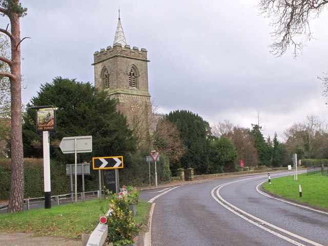
File:The 'Plough' Inn sign and Holy Trinity church, Lower Beeding, West Sussex - Geograph - 1645569.jpg
Jump to navigation
Jump to search

No higher resolution available.
The_'Plough'_Inn_sign_and_Holy_Trinity_church,_Lower_Beeding,_West_Sussex_-_Geograph_-_1645569.jpg (640 × 480 pixels, file size: 79 KB, MIME type: image/jpeg)
| |||||||||||||||||||||||||
|
Galleries | B2110 | ||
File history
Click on a date/time to view the file as it appeared at that time.
| Date/Time | Thumbnail | Dimensions | User | Comment | |
|---|---|---|---|---|---|
| current | 20:04, 6 January 2010 | | 640 × 480 (79 KB) | Jeni (talk | contribs) | {{Information |description = The \'Plough\' Inn sign and Holy Trinity church, Lower Beeding, West Sussex |day = 13 |month = 12 |year = 2009 |photographer = © Copyright [http://www.geograph.org.uk/profile/37997 nick macneill] and |
File usage
The following page uses this file: