No higher resolution available.
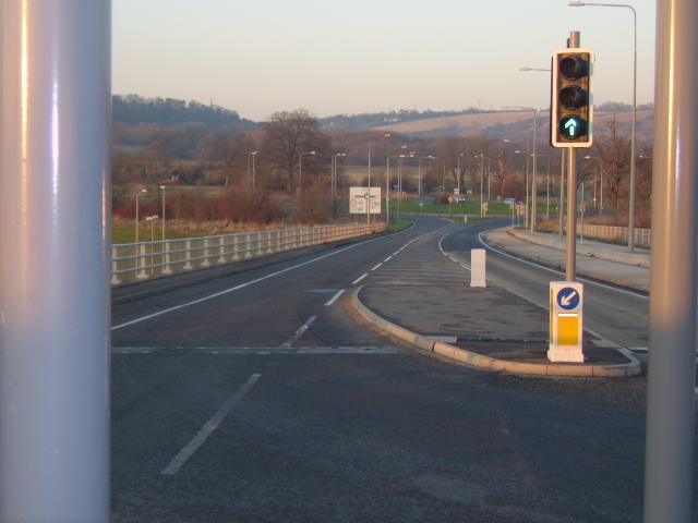
Description: The (Former) B2065's 'Lost Carriageway' - 1
Once upon a time, this stretch of road was B2065, D2, and NSL. Now, 'tis unclassified, S2, and 40mph.Location: This picture currently has no coords, edit this page to add them. Road: B2065 Date: 14 02 2010 Photographer: Gareth thomas Source: Coppermine
File history
Click on a date/time to view the file as it appeared at that time.
Date/Time Thumbnail Dimensions User Comment current 11:43, 14 February 2010 640 × 480 (131 KB) Bob@romiley1 (talk | contribs ) {{Information |description = '''The (Former) B2065's 'Lost Carriageway' - 1''' Once upon a time, this stretch of road was B2065, D2, and NSL. Now, 'tis unclassified, S2, and 40mph. |day = 14 |month = 02 |year = 2010 |photographe
File usage
The following page uses this file:
This file contains additional information, probably added from the digital camera or scanner used to create or digitise it.
If the file has been modified from its original state, some details may not fully reflect the modified file.

_B2065%27s_%27Lost_Carriageway%27_-_1_-_Coppermine_-_4363.jpg&oldid=142790)