File:The A1185 road near Fore Marsh (C) Philip Barker - Geograph - 1806274.jpg
Jump to navigation
Jump to search

No higher resolution available.
The_A1185_road_near_Fore_Marsh_(C)_Philip_Barker_-_Geograph_-_1806274.jpg (640 × 426 pixels, file size: 58 KB, MIME type: image/jpeg)
| |||||||||||||||||||||||||
|
Galleries | A1185 | ||
File history
Click on a date/time to view the file as it appeared at that time.
| Date/Time | Thumbnail | Dimensions | User | Comment | |
|---|---|---|---|---|---|
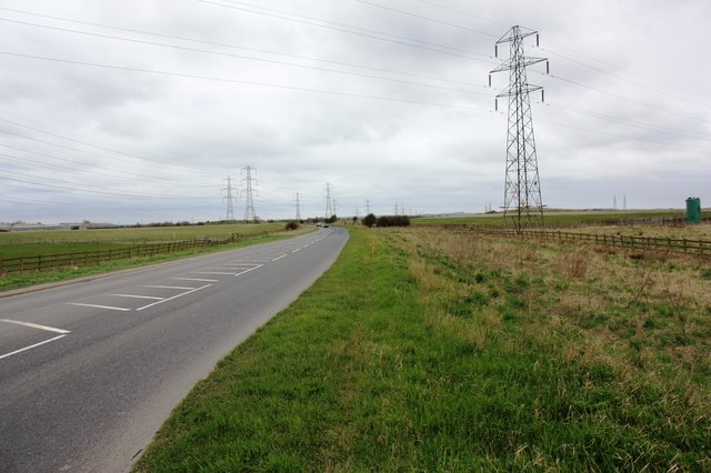
| current | 20:19, 3 November 2013 | | 640 × 426 (58 KB) | Vlad (talk | contribs) | '''The A1185 road near Fore Marsh (C) Philip Barker '''<br/>This picture shows a view of the A1185 road as it passes through the south-western corner of the grid-square (near Fore Marsh). The picture was looking in a north-westerly direction towards C... |
File usage
The following 2 pages use this file:
_Philip_Barker_-_Geograph_-_1806274.jpg&oldid=357663)