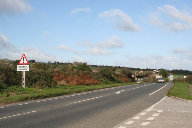
File:The A30 trunk road between Cockwells and Whitecross - Geograph - 1575768.jpg
Jump to navigation
Jump to search

No higher resolution available.
The_A30_trunk_road_between_Cockwells_and_Whitecross_-_Geograph_-_1575768.jpg (640 × 427 pixels, file size: 50 KB, MIME type: image/jpeg)
| |||||||||||||||||||||||||
|
Galleries | A30 | Warning Sign/Other Danger | Warning Sign/Pedestrians | ||
File history
Click on a date/time to view the file as it appeared at that time.
| Date/Time | Thumbnail | Dimensions | User | Comment | |
|---|---|---|---|---|---|
| current | 20:03, 15 January 2010 | | 640 × 427 (50 KB) | Jeni (talk | contribs) | {{Information |description = The A30 trunk road between Cockwells and Whitecross |day = 08 |month = 11 |year = 2009 |photographer = © Copyright [http://www.geograph.org.uk/profile/22976 Rod Allday] and licensed for reuse under [h |
File usage
The following page uses this file: