File:The A449 heading past Dobbie's Garden Centre at Gailey - Geograph - 1435325.jpg
Jump to navigation
Jump to search

No higher resolution available.
The_A449_heading_past_Dobbie's_Garden_Centre_at_Gailey_-_Geograph_-_1435325.jpg (640 × 480 pixels, file size: 57 KB, MIME type: image/jpeg)
| |||||||||||||||||||||||||
|
Galleries | A449 | Wolverhampton | Gailey Island | ||
File history
Click on a date/time to view the file as it appeared at that time.
| Date/Time | Thumbnail | Dimensions | User | Comment | |
|---|---|---|---|---|---|
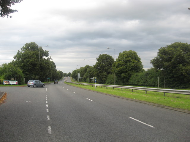
| current | 01:13, 7 January 2010 | | 640 × 480 (57 KB) | Jeni (talk | contribs) | {{Information |description = The A449 heading past Dobbie's Garden Centre at Gailey |day = 03 |month = 08 |year = 2009 |photographer = © Copyright [http://www.geograph.org.uk/profile/21251 james denham] and licensed for reuse und |
File usage
The following 2 pages use this file: