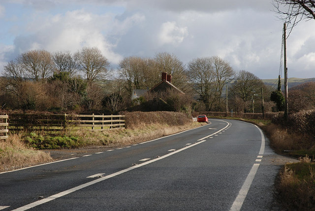
File:The A44 at Blaengeuffordd - Geograph - 1683400.jpg
Jump to navigation
Jump to search

No higher resolution available.
The_A44_at_Blaengeuffordd_-_Geograph_-_1683400.jpg (640 × 428 pixels, file size: 88 KB, MIME type: image/jpeg)
| |||||||||||||||||||||||||
|
Galleries | A44 | Road Markings/Single White | Road Markings/Verge Lines | ||
File history
Click on a date/time to view the file as it appeared at that time.
| Date/Time | Thumbnail | Dimensions | User | Comment | |
|---|---|---|---|---|---|
| current | 11:04, 31 January 2010 | | 640 × 428 (88 KB) | Jeni (talk | contribs) | {{Information |description = The A44 at Blaengeuffordd |day = 29 |month = 01 |year = 2010 |photographer = © Copyright [http://www.geograph.org.uk/profile/15376 Nigel Brown] and licensed for reuse under [http://creativecommons.org |
File usage
The following 2 pages use this file: