File:The A4 near Ballanayre (C) Chris Gunns - Geograph - 1883481.jpg
Jump to navigation
Jump to search

No higher resolution available.
The_A4_near_Ballanayre_(C)_Chris_Gunns_-_Geograph_-_1883481.jpg (640 × 480 pixels, file size: 134 KB, MIME type: image/jpeg)
| |||||||||||||||||||||||||
|
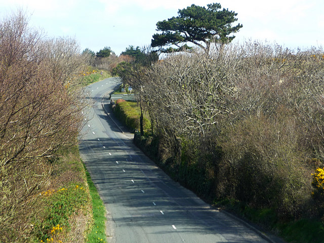
Galleries | A4 (Isle of Man) | ||
File history
Click on a date/time to view the file as it appeared at that time.
| Date/Time | Thumbnail | Dimensions | User | Comment | |
|---|---|---|---|---|---|
| current | 21:41, 17 June 2013 | | 640 × 480 (134 KB) | Si404 (talk | contribs) | The A4 near Ballanayre (C) Chris Gunns |
File usage
There are no pages that use this file.
_Chris_Gunns_-_Geograph_-_1883481.jpg&oldid=347753)