File:The A509 (Derrylin Road) approaching the junction with the Drumroosk Road - Geograph - 2687037.jpg
Jump to navigation
Jump to search

No higher resolution available.
The_A509_(Derrylin_Road)_approaching_the_junction_with_the_Drumroosk_Road_-_Geograph_-_2687037.jpg (640 × 464 pixels, file size: 51 KB, MIME type: image/jpeg)
| |||||||||||||||||||||||||
|
Galleries | A509 (Northern Ireland) | T10 (Northern Ireland) | Warning Sign/Double Bend | Flag Sign | ||
File history
Click on a date/time to view the file as it appeared at that time.
| Date/Time | Thumbnail | Dimensions | User | Comment | |
|---|---|---|---|---|---|
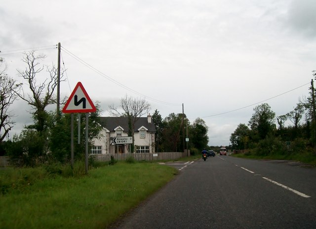
| current | 15:55, 25 May 2013 | | 640 × 464 (51 KB) | Si404 (talk | contribs) | '''The A509 (Derrylin Road) approaching the junction with the Drumroosk Road'''<br/>The Drumroosk Road gives access to the village of Kinawaley. |
File usage
There are no pages that use this file.
_approaching_the_junction_with_the_Drumroosk_Road_-_Geograph_-_2687037.jpg&oldid=401593)