File:The A682 near the 'Moorcock' (C) Dr Neil Clifton - Geograph - 873062.jpg
Jump to navigation
Jump to search

No higher resolution available.
The_A682_near_the_'Moorcock'_(C)_Dr_Neil_Clifton_-_Geograph_-_873062.jpg (640 × 480 pixels, file size: 88 KB, MIME type: image/jpeg)
| |||||||||||||||||||||||||
|
Galleries | A682 | ||
File history
Click on a date/time to view the file as it appeared at that time.
| Date/Time | Thumbnail | Dimensions | User | Comment | |
|---|---|---|---|---|---|
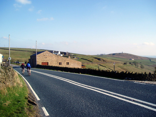
| current | 21:49, 18 March 2014 | | 640 × 480 (88 KB) | Vlad (talk | contribs) | '''The A682 near the 'Moorcock' (C) Dr Neil Clifton '''<br/>Looking south. The house on the right is a barn conversion. On the skyline is seen Stansfield Tower, Blacko, which is right on the Yorkshire-Lancashire boundary. |
File usage
The following page uses this file:
_Dr_Neil_Clifton_-_Geograph_-_873062.jpg&oldid=367391)