File:The A683 (C) Kate Jewell - Geograph - 1206772.jpg

From Roader's Digest: The SABRE Wiki
Jump to navigation Jump to search

The_A683_(C)_Kate_Jewell_-_Geograph_-_1206772.jpg(620 × 445 pixels, file size: 63 KB, MIME type: image/jpeg)

Y topleft.gifY topright.gif
Description:
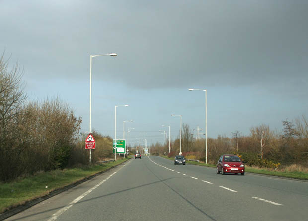
The A683 (C) Kate Jewell
Looking towards Morecambe and the White Lund Trading Estate. This is the main road from Lancaster and Morecambe to Heysham Nuclear Power Stations and the port for the ferries to the Isle of Man and Dublin.
Location:54.052536, -2.842053
Road:A683
Date:14 03 2009
Photographer:Kate Jewell and licensed for reuse under this Creative Commons Licence
Source:Geograph

Map

Y btmleft.gifY btmright.gif

Galleries  | A683 | Morecambe

File history

Click on a date/time to view the file as it appeared at that time.

Date/TimeThumbnailDimensionsUserComment
current20:05, 19 March 2014Thumbnail for version as of 20:05, 19 March 2014620 × 445 (63 KB)Vlad (talk | contribs)'''The A683 (C) Kate Jewell '''<br/>Looking towards Morecambe and the White Lund Trading Estate. This is the main road from Lancaster and Morecambe to Heysham Nuclear Power Stations and the port for the ferries to the Isle of Mann and Dublin.

The following 2 pages use this file:

Metadata

SABRE - The Society for All British and Irish Road Enthusiasts
Discuss - Digest - Discover - Help