File:The A69 heading east - Geograph - 3210051.jpg
Jump to navigation
Jump to search

No higher resolution available.
The_A69_heading_east_-_Geograph_-_3210051.jpg (640 × 480 pixels, file size: 63 KB, MIME type: image/jpeg)
| |||||||||||||||||||||||||
|
Galleries | A69 | ||
File history
Click on a date/time to view the file as it appeared at that time.
| Date/Time | Thumbnail | Dimensions | User | Comment | |
|---|---|---|---|---|---|
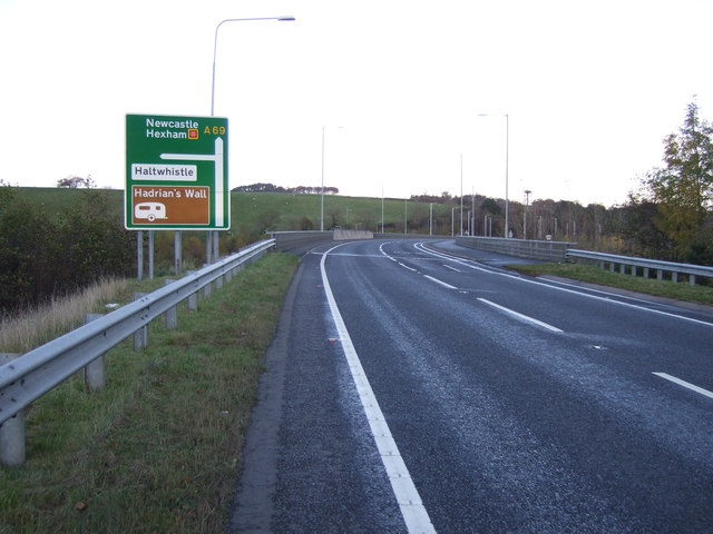
| current | 22:14, 9 June 2018 | | 640 × 480 (63 KB) | Viator (talk | contribs) | The A69 heading east towards Newcastle and bypassing Haltwhistle |
File usage
The following page uses this file: