File:The A761 road approaching Port Glasgow - Geograph - 6448835.jpg
Jump to navigation
Jump to search

No higher resolution available.
The_A761_road_approaching_Port_Glasgow_-_Geograph_-_6448835.jpg (640 × 427 pixels, file size: 75 KB, MIME type: image/jpeg)
| |||||||||||||||||||||||||
|
Galleries | A761 | ||
File history
Click on a date/time to view the file as it appeared at that time.
| Date/Time | Thumbnail | Dimensions | User | Comment | |
|---|---|---|---|---|---|
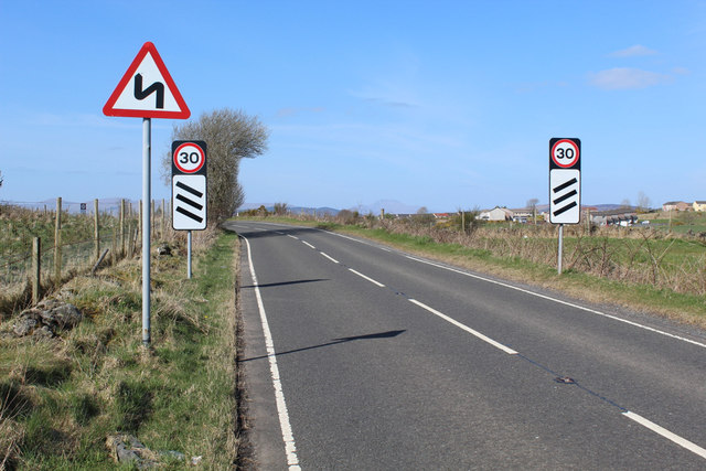
| current | 19:53, 12 February 2021 | | 640 × 427 (75 KB) | Tam nugent (talk | contribs) | Countdown markers to the 30mph zone at the entrance to the town. |
File usage
The following page uses this file: