File:The A833 descending Glen Convinth - Geograph - 1554925.jpg
Jump to navigation
Jump to search

No higher resolution available.
The_A833_descending_Glen_Convinth_-_Geograph_-_1554925.jpg (640 × 453 pixels, file size: 72 KB, MIME type: image/jpeg)
| |||||||||||||||||||||||||
|
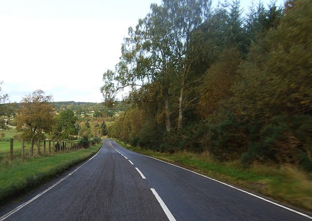
Galleries | A833 | B854 (Inverness-shire) | ||
File history
Click on a date/time to view the file as it appeared at that time.
| Date/Time | Thumbnail | Dimensions | User | Comment | |
|---|---|---|---|---|---|
| current | 19:09, 25 July 2013 | | 640 × 453 (72 KB) | Viator (talk | contribs) | The A833 (former B854) descending Glen Convinth |
File usage
The following 3 pages use this file: