File:The A89 looking east from Houston Mains - Geograph - 2447696.jpg
Jump to navigation
Jump to search

No higher resolution available.
The_A89_looking_east_from_Houston_Mains_-_Geograph_-_2447696.jpg (640 × 480 pixels, file size: 60 KB, MIME type: image/jpeg)
| |||||||||||||||||||||||||
|
Galleries | A89 | A8 | Edinburgh - Glasgow New Road | ||
File history
Click on a date/time to view the file as it appeared at that time.
| Date/Time | Thumbnail | Dimensions | User | Comment | |
|---|---|---|---|---|---|
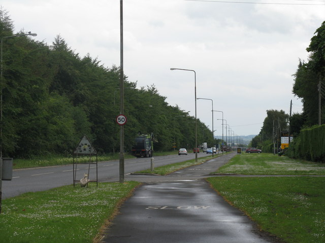
| current | 06:53, 6 July 2020 | | 640 × 480 (60 KB) | Ross spur (talk | contribs) | The former A8 (later A89) looking east from Houston Mains. This was the Broxburn and Uphall bypass on the Edinburgh-Glasgow New Road. Note the road width. |
File usage
The following page uses this file: