File:The Applecross road - Geograph - 1379735.jpg
Jump to navigation
Jump to search

No higher resolution available.
The_Applecross_road_-_Geograph_-_1379735.jpg (640 × 428 pixels, file size: 86 KB, MIME type: image/jpeg)
| |||||||||||||||||||||||||
|
Galleries | Bealach na Ba | Wester Ross Coastal Trail | NC500 | ||
File history
Click on a date/time to view the file as it appeared at that time.
| Date/Time | Thumbnail | Dimensions | User | Comment | |
|---|---|---|---|---|---|
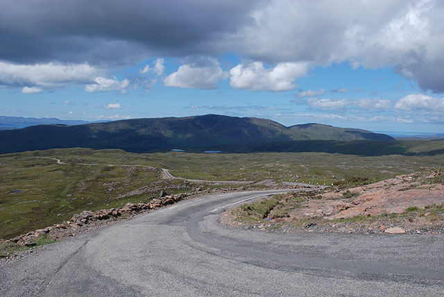
| current | 17:43, 27 September 2009 | | 640 × 428 (86 KB) | Bob@romiley1 (talk | contribs) | {{Information |description = The Applecross road |day = 15 |month = 06 |year = 2009 |photographer = © Copyright [http://www.geograph.org.uk/profile/15376 Nigel Brown] and licensed for reuse under [http://creativecommons.org/licen |
File usage
The following page uses this file: