File:The B4220 near Bosbury (C) Philip Halling - Geograph - 1552899.jpg
Jump to navigation
Jump to search

No higher resolution available.
The_B4220_near_Bosbury_(C)_Philip_Halling_-_Geograph_-_1552899.jpg (640 × 426 pixels, file size: 94 KB, MIME type: image/jpeg)
| |||||||||||||||||||||||||
|
Galleries | B4220 | A4154 (Ledbury - Ridgeway Cross) | ||
File history
Click on a date/time to view the file as it appeared at that time.
| Date/Time | Thumbnail | Dimensions | User | Comment | |
|---|---|---|---|---|---|
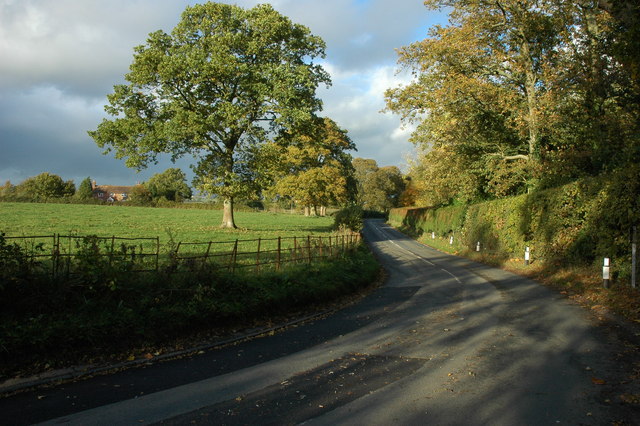
| current | 16:09, 9 September 2014 | | 640 × 426 (94 KB) | Vlad (talk | contribs) | '''The B4220 near Bosbury (C) Philip Halling '''<br/>The B4220 near Bosbury House to the east of Bosbury. |
File usage
The following 3 pages use this file:
_Philip_Halling_-_Geograph_-_1552899.jpg&oldid=385324)