File:The B4226 west of Speech House - Geograph - 1564747.jpg
Jump to navigation
Jump to search

Size of this preview: 399 × 599 pixels. Other resolution: 426 × 640 pixels.
Original file (426 × 640 pixels, file size: 78 KB, MIME type: image/jpeg)
| |||||||||||||||||||||||||
|
Galleries | B4226 | X-Bluebell Driving Route | ||
File history
Click on a date/time to view the file as it appeared at that time.
| Date/Time | Thumbnail | Dimensions | User | Comment | |
|---|---|---|---|---|---|
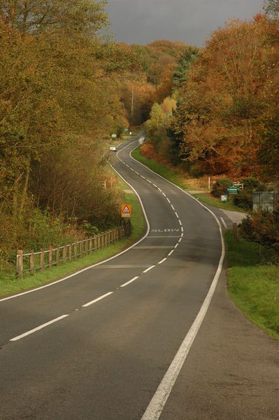
| current | 23:00, 1 March 2010 | | 426 × 640 (78 KB) | Jeni (talk | contribs) | {{Information |description = The B4226 west of Speech House |day = 31 |month = 10 |year = 2009 |photographer = © Copyright [http://www.geograph.org.uk/profile/1837 Philip Halling] and licensed for reuse under [http://creativecomm |
File usage
The following 2 pages use this file: