File:The B4404 west of Aber Ffrydlan - Geograph - 1095801.jpg
Jump to navigation
Jump to search

No higher resolution available.
The_B4404_west_of_Aber_Ffrydlan_-_Geograph_-_1095801.jpg (640 × 480 pixels, file size: 116 KB, MIME type: image/jpeg)
| |||||||||||||||||||||||||
|
Galleries | B4404 | ||
File history
Click on a date/time to view the file as it appeared at that time.
| Date/Time | Thumbnail | Dimensions | User | Comment | |
|---|---|---|---|---|---|
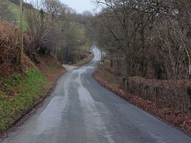
| current | 23:14, 21 March 2010 | | 640 × 480 (116 KB) | Jeni (talk | contribs) | '''The B4404 west of Aber Ffrydlan'''<br/>At the foot of the slope, and on the square boundary, is the junction with the minor road coming in from the left from Cwm Ffrydlan. |
File usage
The following page uses this file: