File:The B478, Sonning Eye - Geograph - 509757.jpg
Jump to navigation
Jump to search

No higher resolution available.
The_B478,_Sonning_Eye_-_Geograph_-_509757.jpg (640 × 480 pixels, file size: 165 KB, MIME type: image/jpeg)
| |||||||||||||||||||||||||
|
Galleries | B478 | ||
File history
Click on a date/time to view the file as it appeared at that time.
| Date/Time | Thumbnail | Dimensions | User | Comment | |
|---|---|---|---|---|---|
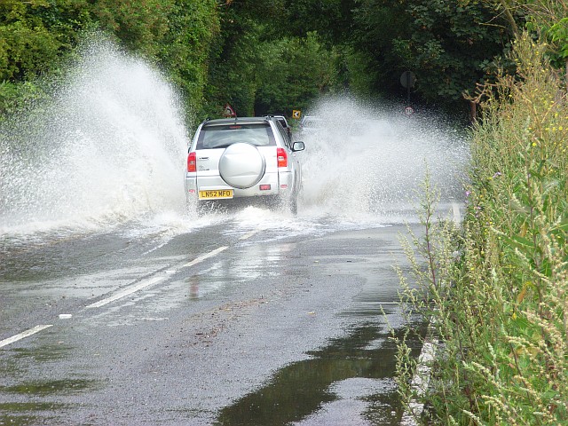
| current | 15:23, 8 March 2010 | | 640 × 480 (165 KB) | Jeni (talk | contribs) | '''The B478, Sonning Eye'''<br/>Some minor flooding was affecting the road at various points as it crosses the floodplain between Sonning and Playhatch. Most traffic went through at a more sedate pace <span class="nowrap"><a title="http://www.geograph.org |
File usage
The following page uses this file: