No higher resolution available.
File history
Click on a date/time to view the file as it appeared at that time.
| Date/Time | Thumbnail | Dimensions | User | Comment |
|---|
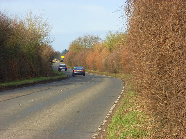
| current | 20:24, 7 March 2010 |  | 640 × 480 (142 KB) | Jeni (talk | contribs) | '''The B482 near Marlow'''<br/>Beside Wycombe Air Park and viewed from the junction with Beacon Lane. |
File usage
The following page uses this file:
This file contains additional information, probably added from the digital camera or scanner used to create or digitise it.
If the file has been modified from its original state, some details may not fully reflect the modified file.
