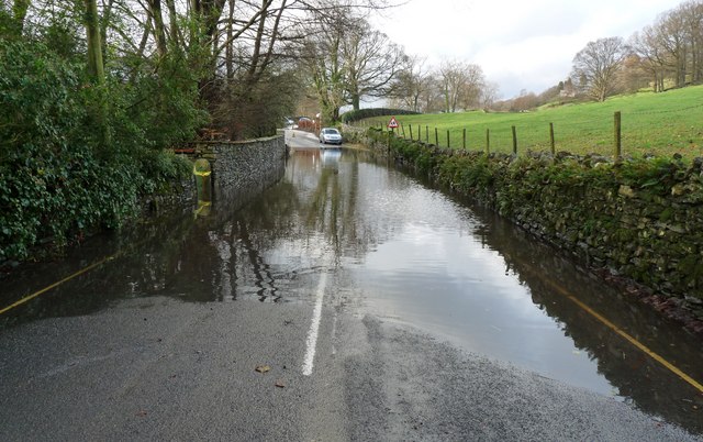
File:The B5285 flooded at Near Sawrey, Cumbria - Geograph - 1590541.jpg
Jump to navigation
Jump to search

No higher resolution available.
The_B5285_flooded_at_Near_Sawrey,_Cumbria_-_Geograph_-_1590541.jpg (640 × 402 pixels, file size: 81 KB, MIME type: image/jpeg)
| |||||||||||||||||||||||||
File history
Click on a date/time to view the file as it appeared at that time.
| Date/Time | Thumbnail | Dimensions | User | Comment | |
|---|---|---|---|---|---|
| current | 18:58, 25 March 2010 | | 640 × 402 (81 KB) | Bob@romiley1 (talk | contribs) | '''The B5285 flooded at Near Sawrey, Cumbria'''<br/>The yellow and white lines quickly disappeared from view under the water. I judged it be too deep to drive through. Fortunately the road was passable via a short cut behind the property to the left of th |
File usage
The following page uses this file: