File:The B5445 towards Belgrave Bridge - Geograph - 1478046.jpg
Jump to navigation
Jump to search

No higher resolution available.
The_B5445_towards_Belgrave_Bridge_-_Geograph_-_1478046.jpg (640 × 480 pixels, file size: 162 KB, MIME type: image/jpeg)
| |||||||||||||||||||||||||
|
Galleries | B5445 | Milestones | S2 | ||
File history
Click on a date/time to view the file as it appeared at that time.
| Date/Time | Thumbnail | Dimensions | User | Comment | |
|---|---|---|---|---|---|
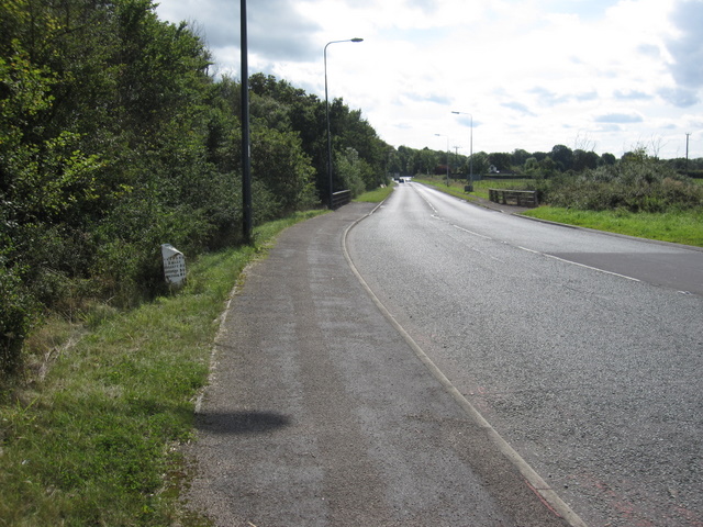
| current | 18:44, 28 March 2010 | | 640 × 480 (162 KB) | Bob@romiley1 (talk | contribs) | '''The B5445 towards Belgrave Bridge'''<br/>Looking south along the old Wrexham Road, which has been by-passed by the A483 dual-carriageway. On the left is the old Cheshire County Council mile marker 'Chester 3 Miles' <a href="http://www.geograph.org.uk/ |
File usage
The following page uses this file: