File:The B5493 in No Man's Heath - Geograph - 743465.jpg
Jump to navigation
Jump to search

No higher resolution available.
The_B5493_in_No_Man's_Heath_-_Geograph_-_743465.jpg (640 × 444 pixels, file size: 61 KB, MIME type: image/jpeg)
| |||||||||||||||||||||||||
File history
Click on a date/time to view the file as it appeared at that time.
| Date/Time | Thumbnail | Dimensions | User | Comment | |
|---|---|---|---|---|---|
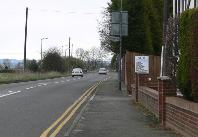
| current | 19:38, 28 March 2010 | | 640 × 444 (61 KB) | Bob@romiley1 (talk | contribs) | '''The B5493 in No Man's Heath'''<br/>No Man's Heath is the most northerly village in Warwickshire, close to the County borders of Leicestershire and Staffordshire. |
File usage
The following 2 pages use this file: