File:The B6525 near Wrangham (C) Graham Robson - Geograph - 3414588.jpg
Jump to navigation
Jump to search

No higher resolution available.
The_B6525_near_Wrangham_(C)_Graham_Robson_-_Geograph_-_3414588.jpg (640 × 480 pixels, file size: 74 KB, MIME type: image/jpeg)
| |||||||||||||||||||||||||
|
Galleries | B6525 | A6111 | B6350 (Northumberland) | ||
File history
Click on a date/time to view the file as it appeared at that time.
| Date/Time | Thumbnail | Dimensions | User | Comment | |
|---|---|---|---|---|---|
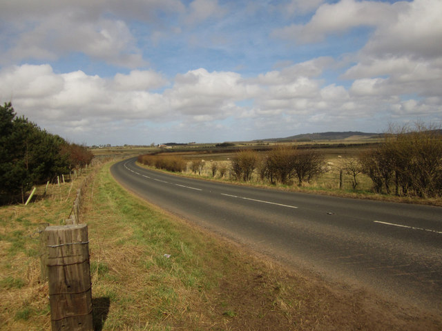
| current | 20:07, 10 November 2014 | | 640 × 480 (74 KB) | Vlad (talk | contribs) | '''The B6525 near Wrangham (C) Graham Robson '''<br/>Looking north along the B6525 near Wrangham. The road connects Berwick-upon-Tweed and Wooler. |
File usage
The following 5 pages use this file:
_Graham_Robson_-_Geograph_-_3414588.jpg&oldid=505913)