File:The B866 road - Geograph - 5869973.jpg
Jump to navigation
Jump to search

No higher resolution available.
The_B866_road_-_Geograph_-_5869973.jpg (640 × 480 pixels, file size: 117 KB, MIME type: image/jpeg)
| |||||||||||||||||||||||||
|
Galleries | B866 | ||
File history
Click on a date/time to view the file as it appeared at that time.
| Date/Time | Thumbnail | Dimensions | User | Comment | |
|---|---|---|---|---|---|
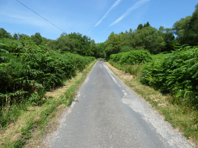
| current | 10:55, 8 April 2021 | | 640 × 480 (117 KB) | Tam nugent (talk | contribs) | The B866 road, looking north from Port An Eillein. |
File usage
There are no pages that use this file.