File:The B866 road near Colintraive - Geograph - 5869664.jpg
Jump to navigation
Jump to search

No higher resolution available.
The_B866_road_near_Colintraive_-_Geograph_-_5869664.jpg (640 × 480 pixels, file size: 138 KB, MIME type: image/jpeg)
| |||||||||||||||||||||||||
File history
Click on a date/time to view the file as it appeared at that time.
| Date/Time | Thumbnail | Dimensions | User | Comment | |
|---|---|---|---|---|---|
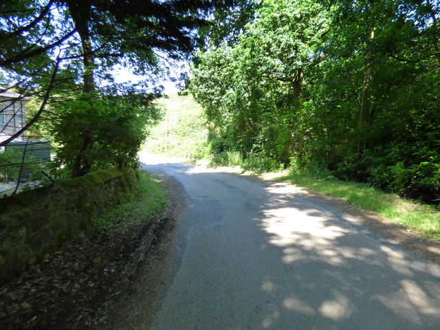
| current | 13:18, 8 April 2021 | | 640 × 480 (138 KB) | Tam nugent (talk | contribs) | The top of the first hill out of Colintraive. The B866 road veers away from the A886 at this point. |
File usage
The following page uses this file: