File:The Back Road junction on the Quarter Road - Geograph - 4682139.jpg
Jump to navigation
Jump to search

No higher resolution available.
The_Back_Road_junction_on_the_Quarter_Road_-_Geograph_-_4682139.jpg (640 × 480 pixels, file size: 88 KB, MIME type: image/jpeg)
| |||||||||||||||||||||||||
|
Galleries | High Mournes Scenic Loop | ||
File history
Click on a date/time to view the file as it appeared at that time.
| Date/Time | Thumbnail | Dimensions | User | Comment | |
|---|---|---|---|---|---|
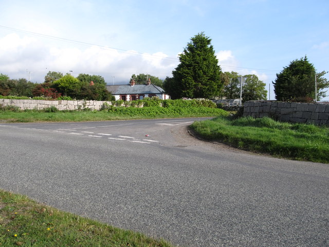
| current | 10:15, 20 March 2017 | | 640 × 480 (88 KB) | Si404 (talk | contribs) | '''The Back Road junction on the Quarter Road''' Both roads lead to the A2. |
File usage
There are no pages that use this file.