File:The Ballyrobert Road near Bangor - Geograph - 271433.jpg
Jump to navigation
Jump to search

No higher resolution available.
The_Ballyrobert_Road_near_Bangor_-_Geograph_-_271433.jpg (640 × 426 pixels, file size: 205 KB, MIME type: image/jpeg)
| |||||||||||||||||||||||||
|
Galleries | B20 (Northern Ireland) | ||
File history
Click on a date/time to view the file as it appeared at that time.
| Date/Time | Thumbnail | Dimensions | User | Comment | |
|---|---|---|---|---|---|
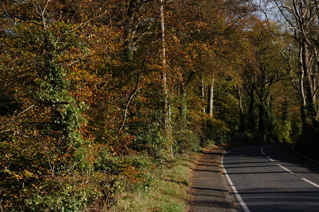
| current | 19:52, 17 January 2017 | | 640 × 426 (205 KB) | Vlad (talk | contribs) | '''The Ballyrobert Road near Bangor''' The Ballyrobert Road runs from Crawfordsburn village, to the Belfast-Bangor road, through wooded farmland. This is the view towards Crawfordsburn with the main road not far behind the photographer. |
File usage
The following 2 pages use this file: