File:The Barley Mow, Vicarage Road frontage, Wollaston - Geograph - 1096336.jpg
Jump to navigation
Jump to search

No higher resolution available.
The_Barley_Mow,_Vicarage_Road_frontage,_Wollaston_-_Geograph_-_1096336.jpg (640 × 480 pixels, file size: 60 KB, MIME type: image/jpeg)
| |||||||||||||||||||||||||
|
Galleries | B4537 | Stourbridge | ||
File history
Click on a date/time to view the file as it appeared at that time.
| Date/Time | Thumbnail | Dimensions | User | Comment | |
|---|---|---|---|---|---|
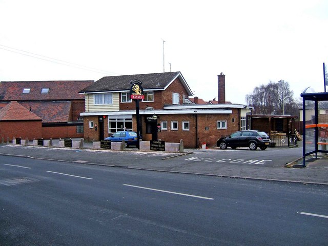
| current | 18:33, 3 May 2016 | | 640 × 480 (60 KB) | Vlad (talk | contribs) | '''The Barley Mow, Vicarage Road frontage, Wollaston''' This pub fronts both Vicarage Road (seen here) and Wollaston's High Street. A convenient bus shelter adjoins the pub in Vicarage Road. The pub still has signs supplied by Banks's brewery (on both ... |
File usage
The following page uses this file: