File:The Belfast - Bangor road near Holywood - Geograph - 380160.jpg
Jump to navigation
Jump to search

No higher resolution available.
The_Belfast_-_Bangor_road_near_Holywood_-_Geograph_-_380160.jpg (640 × 426 pixels, file size: 123 KB, MIME type: image/jpeg)
| |||||||||||||||||||||||||
|
Galleries | A2 (Northern Ireland) | T1 (Northern Ireland) | Mourne Coastal Route | Belfast City Airport | D3 | ||
File history
Click on a date/time to view the file as it appeared at that time.
| Date/Time | Thumbnail | Dimensions | User | Comment | |
|---|---|---|---|---|---|
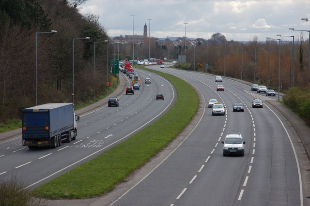
| current | 12:06, 16 June 2010 | | 640 × 426 (123 KB) | Si404 (talk | contribs) | '''The Belfast - Bangor road near Holywood'''<br/><br /> This is the view towards Belfast from the flyover connecting the Belfast � Bangor road to the Holywood Exchange �retail park�. The spire in the background is St Mark�s, Dundela <a href="http://ww |
File usage
The following 3 pages use this file: